Separate location from control
Navigation estimates where a vehicle is and how it is moving. Control uses that estimate, together with a desired state, to command thrusters or other actuators. A vehicle can appear to hold position while its estimated location drifts. Conversely, its position estimate can be accurate while current prevents it from maintaining the viewpoint needed for inspection. Both failures matter, but they require different responses and leave different traces in the data.
Begin with the asset reference frame. A global coordinate is useful for survey integration, yet a reviewer may need to know which side of a particular pile was observed and at what elevation. Define the relationship between geographic coordinates, the structure model and local inspection zones. Record coordinate reference systems, vertical datums, transformations and time references. Without that chain, apparent repeatability can conceal a systematic offset.
Understand what each aid contributes
Conventional satellite navigation is not available to a submerged receiver in the way it is at the sea surface. Underwater systems therefore combine measurements. An inertial navigation system estimates motion from inertial sensors, but uncorrected errors accumulate. A Doppler velocity log can provide velocity relative to the seabed when bottom tracking is available; geometry, altitude and seabed conditions affect that availability. Pressure measurements constrain depth, not horizontal position.
Acoustic systems add other constraints. An ultra-short baseline system estimates the vehicle position relative to a transceiver, commonly on a vessel. Long-baseline systems use a distributed acoustic reference network. Their performance depends on sound-speed knowledge, geometry, calibration, timing and the acoustic environment. A harbour wall can produce multipath reflections, while machinery or other sonars may introduce interference. Treat the published instrument specification as one input, not as the achieved mission uncertainty.
Use the structure carefully
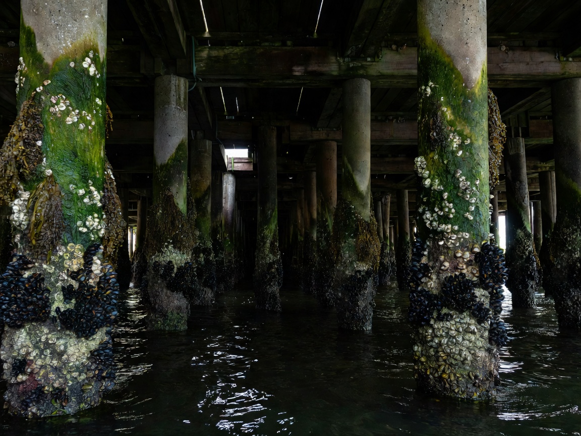
Visual or sonar-based navigation can estimate motion relative to nearby features. Simultaneous localisation and mapping may help maintain a local map, but repetitive piles, low texture, moving particles and changing illumination can make feature association unreliable. A loop closure can improve a map, or distort it if the association is wrong. Inspect the underlying observations and quality indicators rather than accepting a visually tidy reconstruction as self-validating.
Infrastructure-relative navigation is particularly useful when the inspection needs a consistent stand-off or repeated view. Nevertheless, relative accuracy does not automatically create global accuracy. A precise local model can still be poorly connected to the asset drawing. Keep independent check points where practicable, document the registration method and preserve intermediate estimates so a later reviewer can understand adjustments.
Control the observation, not just the route
Inspection quality depends on sensor orientation, stand-off, travel speed and stability during acquisition. A camera can pass close to a surface yet produce blurred, oblique images. A scanning sonar can suffer when motion changes during a sweep. A contact probe may require controlled force and dwell time. Define acceptable motion in terms of the observation method rather than choosing a single vehicle-speed limit for every task.
Currents accelerate around corners and narrow gaps. Thruster wash can lift sediment and reduce the very visibility needed to continue. Near a structure, obstacle avoidance may force the vehicle outside the planned sensor envelope. The correct response may be a slower approach, a changed viewing direction, a pause or abandonment of that zone. Record these events because they explain the difference between planned and usable coverage.
A smooth track is not evidence that every surface along it was observed.
Make degradation visible
Define thresholds for lost bottom lock, acoustic outages, growing position uncertainty and excessive tracking error. A system should not silently continue labelling its output with the same confidence after a key aid disappears. The response must suit the operating environment: holding position, retreating along a validated path or requesting operator intervention may be appropriate in different circumstances. Surfacing is not universally safe beneath infrastructure.
Research from the National Oceanography Centre, Woods Hole Oceanographic Institution and Monterey Bay Aquarium Research Institute demonstrates a broad range of underwater autonomy approaches. Their missions have different environments and objectives; success in open-ocean research is not evidence of suitability beneath a congested jetty. Read technical descriptions for assumptions, validation methods and failure handling, not only headline endurance.
Deliver the navigation context
Retain synchronised position, attitude, sensor timestamps, calibration records and available quality measures alongside inspection data. State any outages or corrections and identify whether a location is measured, estimated or manually assigned. For seabed-survey elements, IHO S-44 provides a recognised hydrographic quality framework, but it does not define crack-detection performance on a structure. Apply relevant requirements to the actual measurement, and carry uncertainty into the finding rather than leaving it in an inaccessible vehicle log.